Part 11 - The Morning Coffee Surprise
It was the last day of my vacation, and I was having my morning coffee while looking at the sonar images once again. I started noticing things in the images that I hadn’t noticed before. A fish trap next to the shore at spot two. Did someone lose it or forget it? There were also some tree trunks. Why were the tree trunks there? Did they fall from the shore or did they float the logs in here in the days of yore?
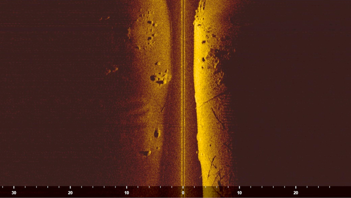
Suddenly, I was staring at two parallel grooves on the bottom which faced away from the shore. The grooves were not quite at a 90 degree angle with the shore, but pretty close.
What could have made those grooves?
 The grooves are on the left, a bit down from the center of the image.
I started measuring things and making notes. Where the grooves started the depth was 7 meters and about 17 meters from the shore. That was just where the bottom starts to rapidly get really steep. The distance between the grooves was 1.4 meters.
What on earth could have made those grooves? It was too deep for ice, and too deep for anything I could think of. No one I talked with could come up with a reasonable explanation for the marks.
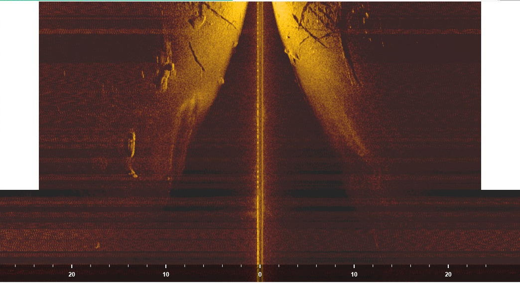
I took the coordinates of the spot and started going through all the sonar recordings I had. I found two different good recordings of the place from different angles.
 The grooves were visible from another recording. The RC-boat has gone almost on top of them. The grooves are visible on the left and they start from the middle of the picture going down.
Next, I put the coordinates on the map and marked the spot. The small road leading to the shore had a slight angle at about 15 meters before the water. When I drew a line on the aerial picture over the last straight, it led directly to the beginning of the marks. Things were starting to look really interesting.
Once again luck was on our side. The map of the area had the depth lines for the lake. This is not the case for all areas in Finland. The spot where the tracks started was at the edge of a steep slope. The slope ended 80-100 m from the shore, and was approximately at 25-30 meters depth.
Over the next few days, I continued my research. I found out that Juha had an old SEAT, which had a track spacing of 1.42 meters, which matched what I measured from the recording. I also found a car jump distance calculator. The main point was to try and prove that the tracks weren’t from a car but with reasonable parameters, I couldn’t rule it out.
It simply had to be checked out.